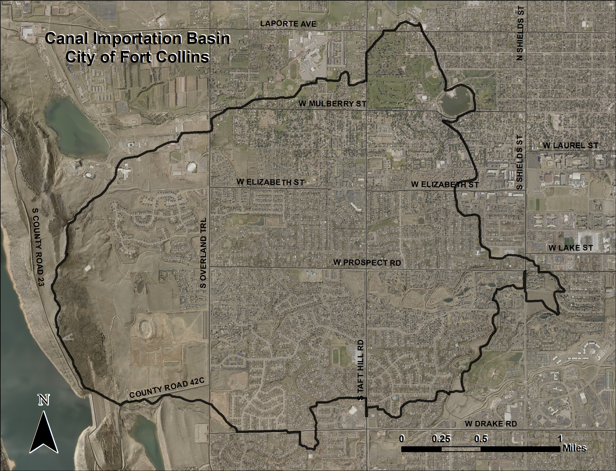
Canal Importation Drainage Basin#
Basin Overview#
Click to enlarge
The Canal Importation Basin encompasses almost five square-miles (3,200 acres) of west-central Fort Collins. The basin is bounded generally by Laporte Avenue on the north, the foothills on the west, Drake Road to the south and extends almost to Shields Street on the east. Given current City of Fort Collins land use and zoning, the basin is nearly fully developed.
The basin has five primary flow paths that drain east to the Old Town and Spring Creek basins. Since the original Master Drainage Plan was developed, multiple studies and stormwater infrastructure improvement projects have been completed within the basin.
Three irrigation canals pass through the mostly urbanized basin flowing generally from north to south. The Pleasant Valley and Lake Canal (PV&L), the New Mercer Ditch (NMD) and the Larimer County Canal No. 2 (LC2) all have some level of impact to the stormwater drainage in the basin.
During rainfall events, runoff travels generally from west to east. In some locations the runoff is intercepted by one of the three irrigation canals and transported across the basin flow paths. When the capacity of the ditches is exceeded, they can spill runoff into the basin during flood events at designated spill locations or uncontrolled where the ditch bank elevations are low.
Flood History
Flooding can be attributed to the significant loss of natural drainage channels from encroachment by historic development and uncontrolled spills of stormwater runoff from the major irrigation canals.
Basin Stormwater Master Planning
The original stormwater master plan for the Canal Importation Basin was prepared in 1980 and updated in 2001. A comprehensive update to the basin Selected Plan of Improvements is currently underway in 2022.
Canal Importation Capital Improvement Projects
Stormwater capital improvement projects are identified in the Basin Master Plans and are intended to help alleviate flooding during a 100-year storm event.
Explore the Canal Importation Basin#
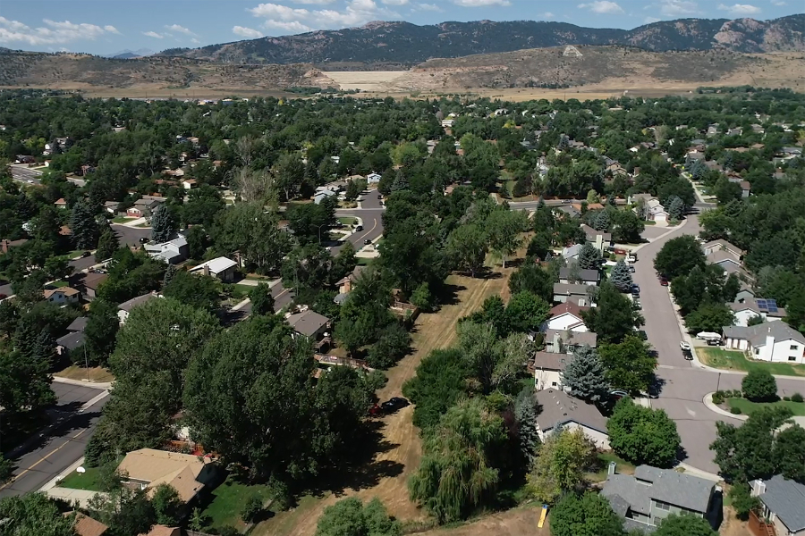
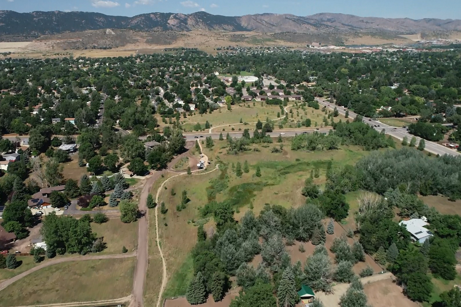
View of the Canal Importation Basin west of Red Fox Meadows
View of the Canal Importation Basin northwest of Red Fox Meadows
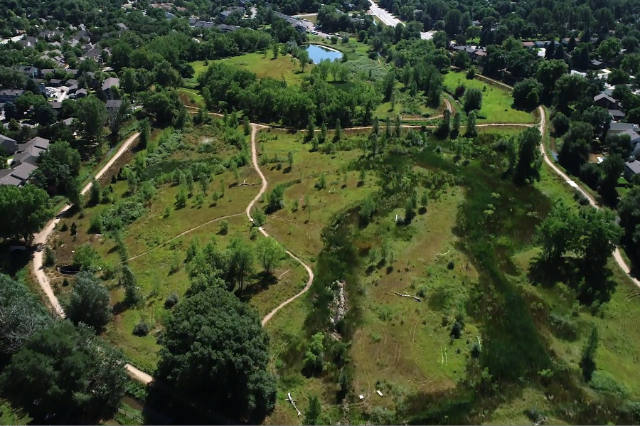
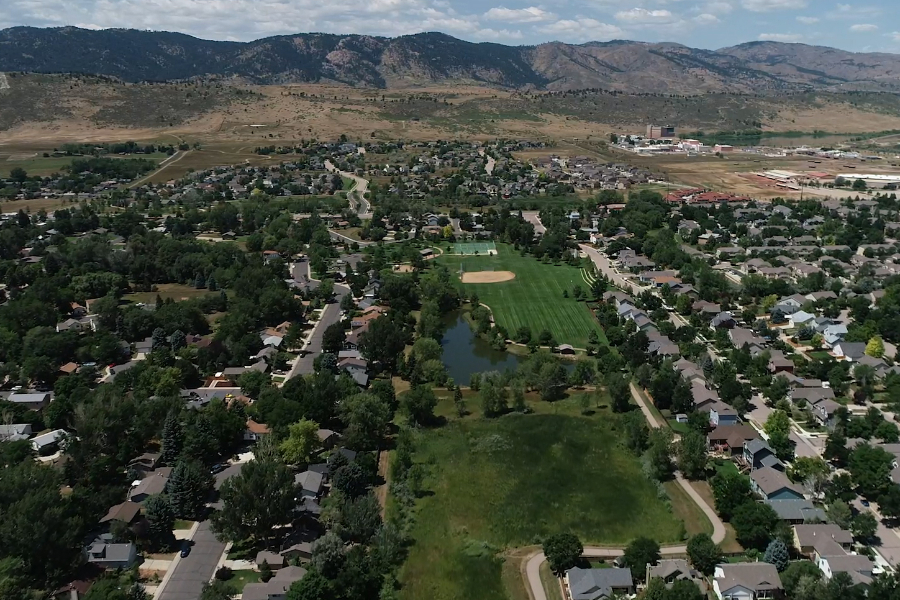
View of Red Fox Meadows in the Canal Importation Basin
View of Red Fox Meadows in the Canal Importation Basin
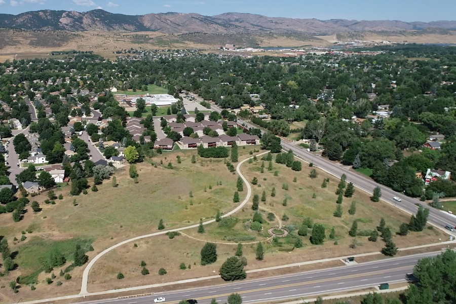
View of Overland Park in the Canal Importation Basin
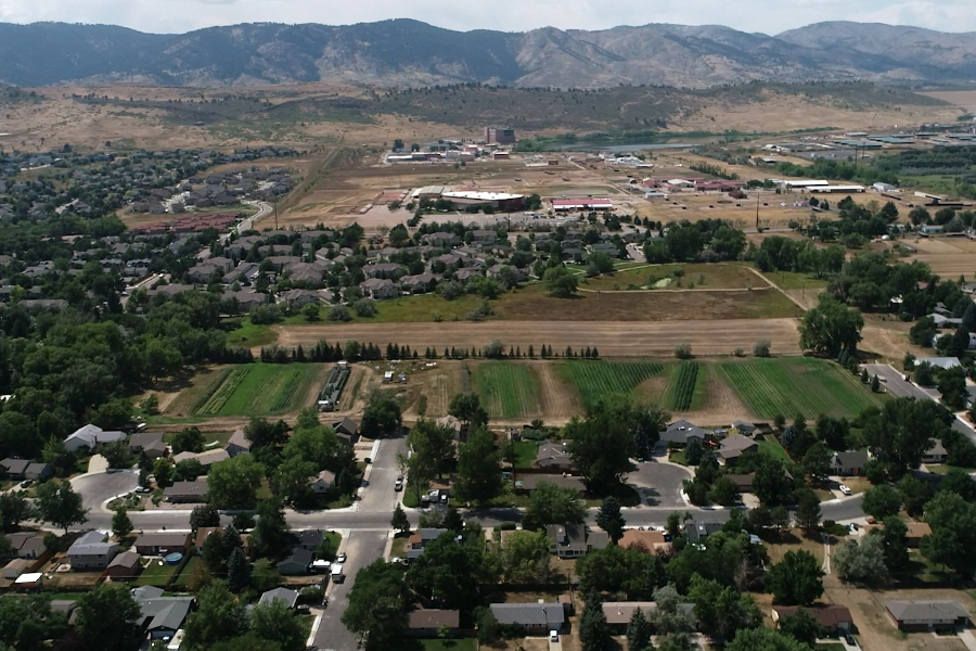
View of the Canal Importation Basin west of Rogers Park
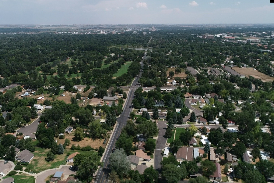
View of the Canal Importation Basin east of Rogers Park. City Park Nine is visible in the middle-upper left portion of the image.
View of the Canal Importation Basin west of Red Fox Meadows
View of the Canal Importation Basin northwest of Red Fox Meadows
View of Red Fox Meadows in the Canal Importation Basin
View of Red Fox Meadows in the Canal Importation Basin
View of Overland Park in the Canal Importation Basin
View of the Canal Importation Basin west of Rogers Park
View of the Canal Importation Basin east of Rogers Park. City Park Nine is visible in the middle-upper left portion of the image.
Did You Know?
We operate a flood warning system that monitors real-time rainfall information.
Using an ENERGY STAR® programmable thermostat or wifi thermostat can help you better control your home's comfort and utility costs.
Replacing older water heaters, air conditioners, furnaces and boilers with efficient ENERGY STAR® models can save energy and increase home comfort.