McClellands#
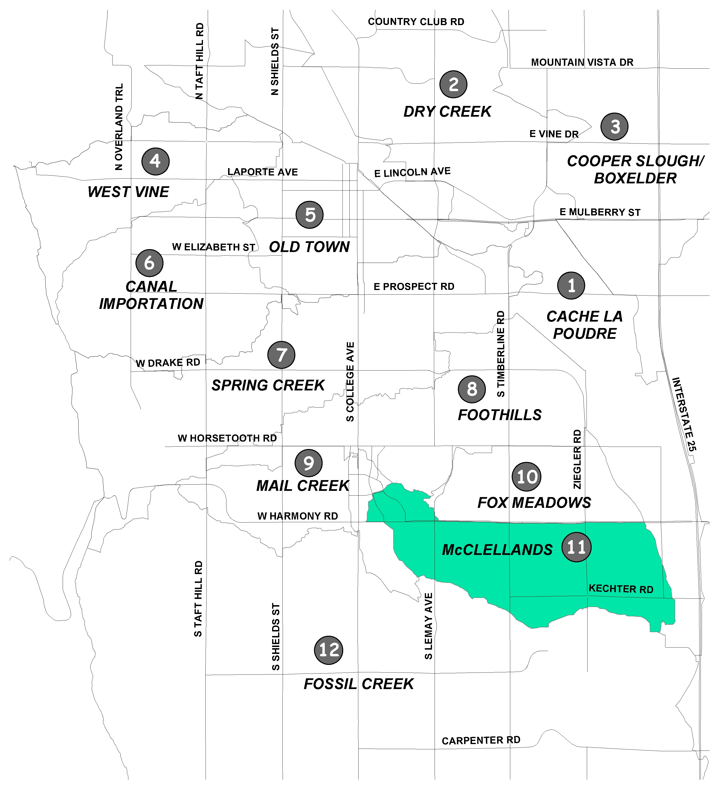
The McClellands Basin encompasses approximately 3.4 square miles in southeast Fort Collins. The storm runoff from the basin originates northeast of College Avenue and Harmony Road and drains southeast through the Oakridge, Willow Springs, Stetson Creek and Harvest Park developments.
A single major drainageway, McClellands Creek, conveys flow from the upper end of the basin to the downstream discharge point along the Fossil Creek Reservoir Inlet Ditch. The majority of the basin is either developed, or is being developed, with residential and commercial land areas.
As with the Foothills, Fox Meadows, and Mail Creek basins, McClellands was developed in accordance with its original master plan and storm drainage criteria; therefore, many of the recommended improvements were completed. However, there are still some localized flooding problems.
The recommended plan of improvements includes pond enlargement, spillway construction, and inlet additions. Once these improvements are completed, the existing facilities would be up to current drainage standards.
The master plan update is currently underway. The goal is to address stormwater quality from rainfall runoff and to identify stream restoration projects that protect the city's watersheds.
Check out the Water Quality Solution Map (PDF 1.2MB) for the McClellands drainage basin.
Did You Know?
Maintaining your cooling equipment ensures it is running efficiently.
Mowing with a dull blade tears grass and stresses the lawn. Always be sure to mow with a sharp mower blade.
There are more than 500 miles of water mains throughout Fort Collins.