Boxelder Creek & Cooper Slough#
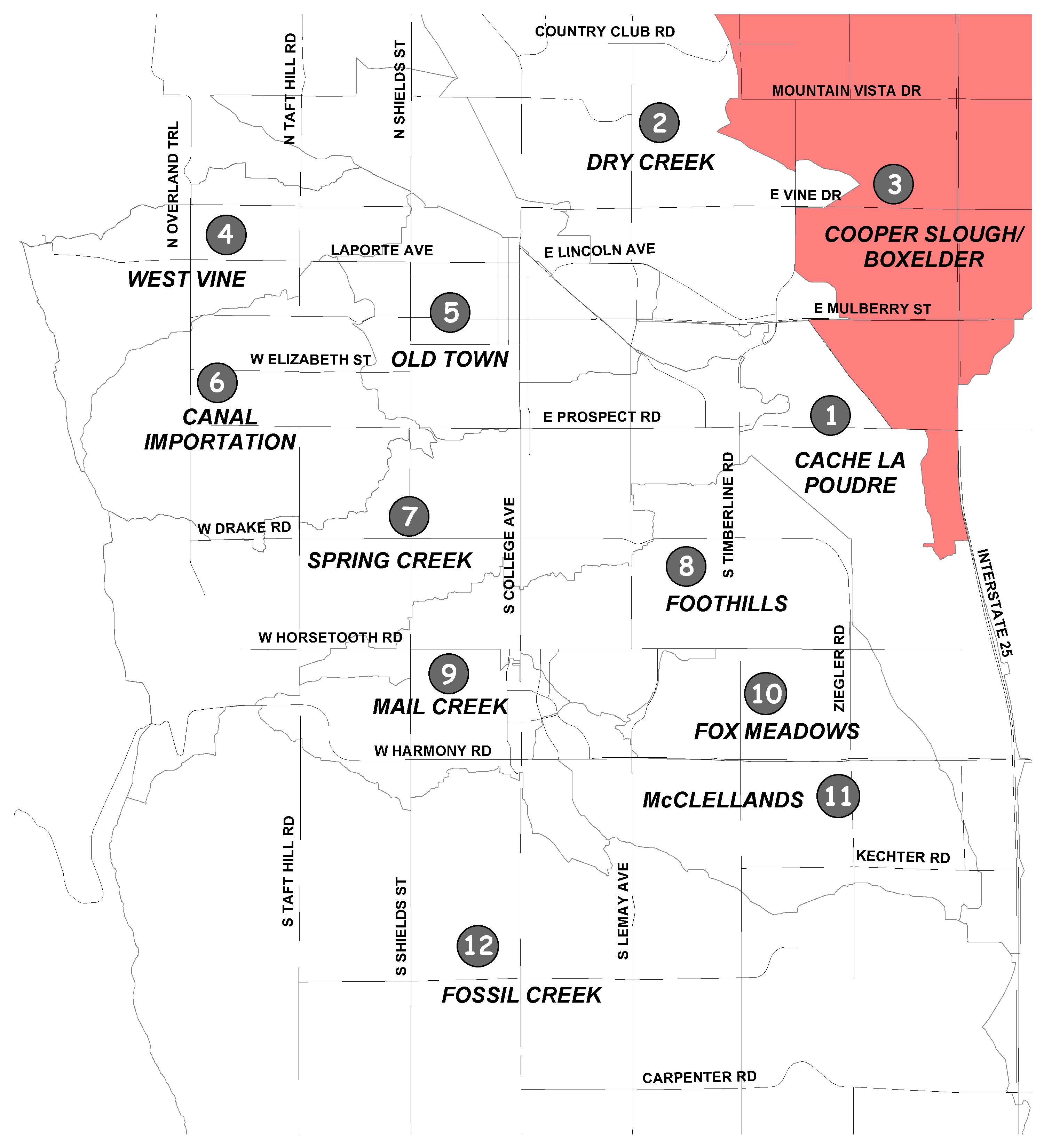
The Boxelder Creek and Cooper Slough Basins encompass approximately 265 square miles, beginning north of the Colorado/Wyoming border and extending southward into east Fort Collins, where they end at the Cache la Poudre River. The basins are primarily characterized by farmland with isolated areas of mixed-use residential development and limited commercial development. It is anticipated the lower part of the basin will undergo urbanization in the future.
The master plan and floodplain map were revised by the City in cooperation with Larimer County. The master plan identified an estimated 134 structures would be damage during a 100-year storm with an estimated $23 million in damages.
The recommended plan of improvements (Cooper Slough and Boxelder Creek west of I-25) presents cost-effective projects to mitigate damages from the 100-year storm. These projects would prevent 91 structures from being damaged in a 100-year storm and eliminate two roads from overtopping. Most of the projects are located at the northwest and southwest corners of State Highway 14 and I-25, where the majority of the existing damage to structures is anticipated.
The master plan update is currently underway. The goal is to address stormwater quality from rainfall runoff and to identify stream restoration projects that protect the city's watersheds.
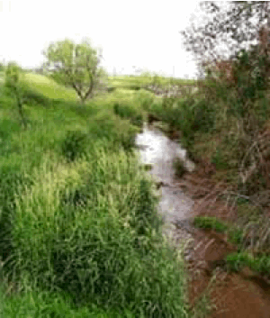
Flooding History #
The Boxelder Creek and Cooper Slough drainage basins share a border and cover approximately 260 square miles. The basins extend from Fort Collins north to the Wyoming border. Major floods occurred in this area in 1909, 1922, 1930, 1937, 1947, 1963, 1967, and 1969.
In 1947, a Fort Collins Coloradoan newspaper headline read, "Violent Rainstorm Floods Large Area; Crop Losses Heavy." As much as five inches of rain fell northwest of Wellington, washing out bridges and flooding crops. Nearly 1,000 acres of grain, alfalfa and corn crops were damaged.
Heavy rains caused Boxelder Creek to overflow its banks again in 1967 and resulted in the death of a mother and her three daughters. The woman and her daughters drove into the flooded creek where it passed over a county road southeast of Wellington. Floods that summer destroyed county bridges seven times.
Maps #
- Problem Identification Map (PDF 35KB)
- Flooding Solution Map (PDF 39KB)
- Water Quality Solution Map (PDF 3.9MB)
Did You Know?
When warm enough, you can save ~50 cents/load by hanging your laundry on a clothesline. Clotheslines are allowed everywhere in Fort Collins.
Replacing some bluegrass with low water-using planting beds can save water and money.
Installing high-efficiency refrigeration equipment at your business, such as zero-energy doors and anti-sweat heater controls (rebates available), can save money.