Stormwater and Flooding Alerts
Keep up-to-date with weather forecasts and stormwater events.
Stormwater#
Protecting People, Property and Our Environment#
Our stormwater utility was established in 1980 to protect our community from damage due to flooding, pooling, erosion and harmful pollutants.
Stormwater is just that - water from a storm, including rain, hail and snow. Typically, this water is either absorbed into the ground or collects in a body of water. However, when living in an urban area with many non-absorbent surfaces (like rooftops, driveways, sidewalks, parking lots and streets), this water becomes runoff, flowing down gutters, through stormwater inlets and the storm sewer system into our streams, rivers and lakes.
Sediment, nutrients, bacteria, metals, pesticides, and other pollutants are picked up as this water flows through the city. Unlike sanitary sewers that go to a treatment plant, most stormwater is discharged directly to local water bodies.
What We Do#
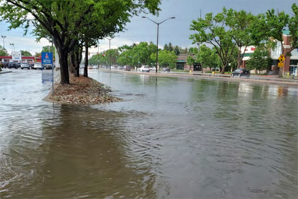
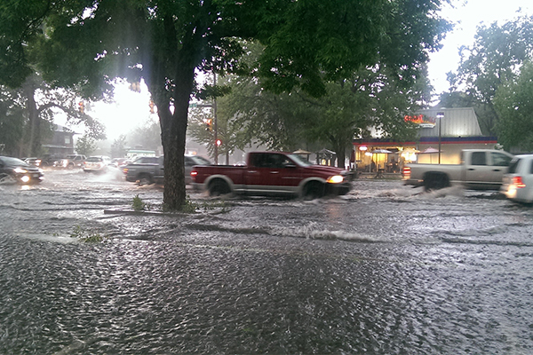
Flood Safety
Learn how to stay safe and protect your home and property from flood risks.
Stormwater Quality
Stormwater pollution is the number one cause of water pollution in the country. See how we address it and how you can help.
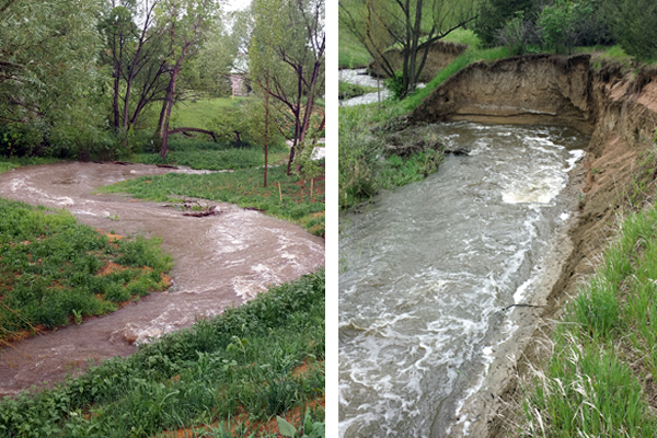
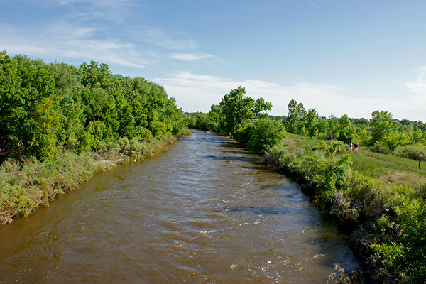
Stream Rehabilitation
Creek and stream rehab establishes stream habitat, improves water quality, stabilizes eroding banks, and improves fish passage.
Master Planning
Stormwater master planning creates a plan and vision for how stormwater management can be implemented in each of our 13 basins.
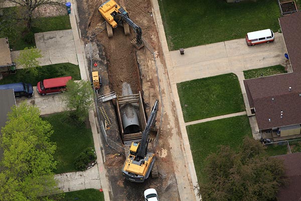
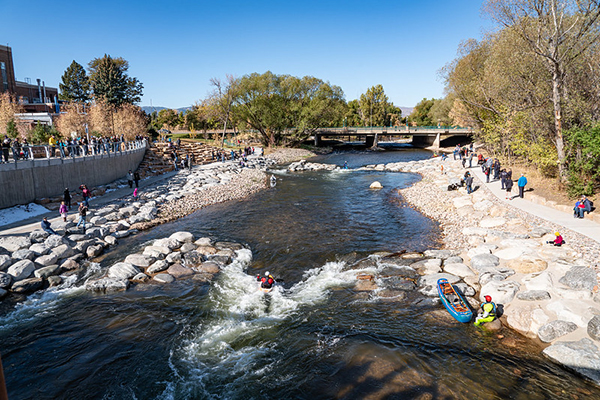
Stormwater Improvements
An estimated 1,500+ structures have been protected from a 100-year flood event with stromwater improvements.
What's In the Works: Projects and Improvements#
Downtown Stormwater Improvement Plan (DSIP)
Downtown Fort Collins is at risk for flooding and pollution from urban stormwater runoff from downtown can impact the Cache la Poudre River.
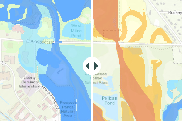
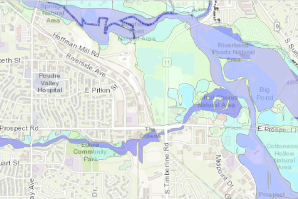
Poudre River Floodplain Map
The floodplain map for the Poudre River is being updated.
Resources and Guidelines#
Stormwater Basins
There are 13 stormwater basins within the City of Fort Collins Growth Management Area (GMA).
Irrigation Ditches
Irrigation ditches and canals carry water from the Cache la Poudre River to users in and around Fort Collins.
Development Guidelines and Criteria
View design guidelines and technical criteria to be used in the analysis and design of stormwater drainage systems.
Power Washing Guidelines
Find out how to handle the wastewater from power washing.
Outdoor Festival and Events Guide
Find out how to prevent pollutants from entering the City's storm sewer system during outdoor festivals and events.
Rates and Fees#
Did You Know?
Setting your refrigerator to recommended 38-40 degrees Fahrenheit and freezer to 0 degrees Fahrenheit helps save energy.
Oil and other toxic vehicle fluids end up in puddles where our kids and pets like to play. Don't drip and drive.
We clean and maintain the City's wastewater system year-round to prevent sewer backups. You can help by only flushing the three Ps.