Structure Plan
The Structure Plan map and accompanying place types—or land use categories—provide a framework for the ultimate buildout of Fort Collins. Five priority place types have been identified to help illustrate the challenges and opportunities associated with infill and redevelopment, and the critical role it will play in helping the community achieve its vision over the next 10-20 years.
The Structure Plan and associated Place Types:
- Guides future growth and reinvestment and serves as official land use plan for the City;
- Informs planning for infrastructure and services;
- Fosters coordinated land use and transportation decisions within the city and region; and
- Helps implement principles and policies.
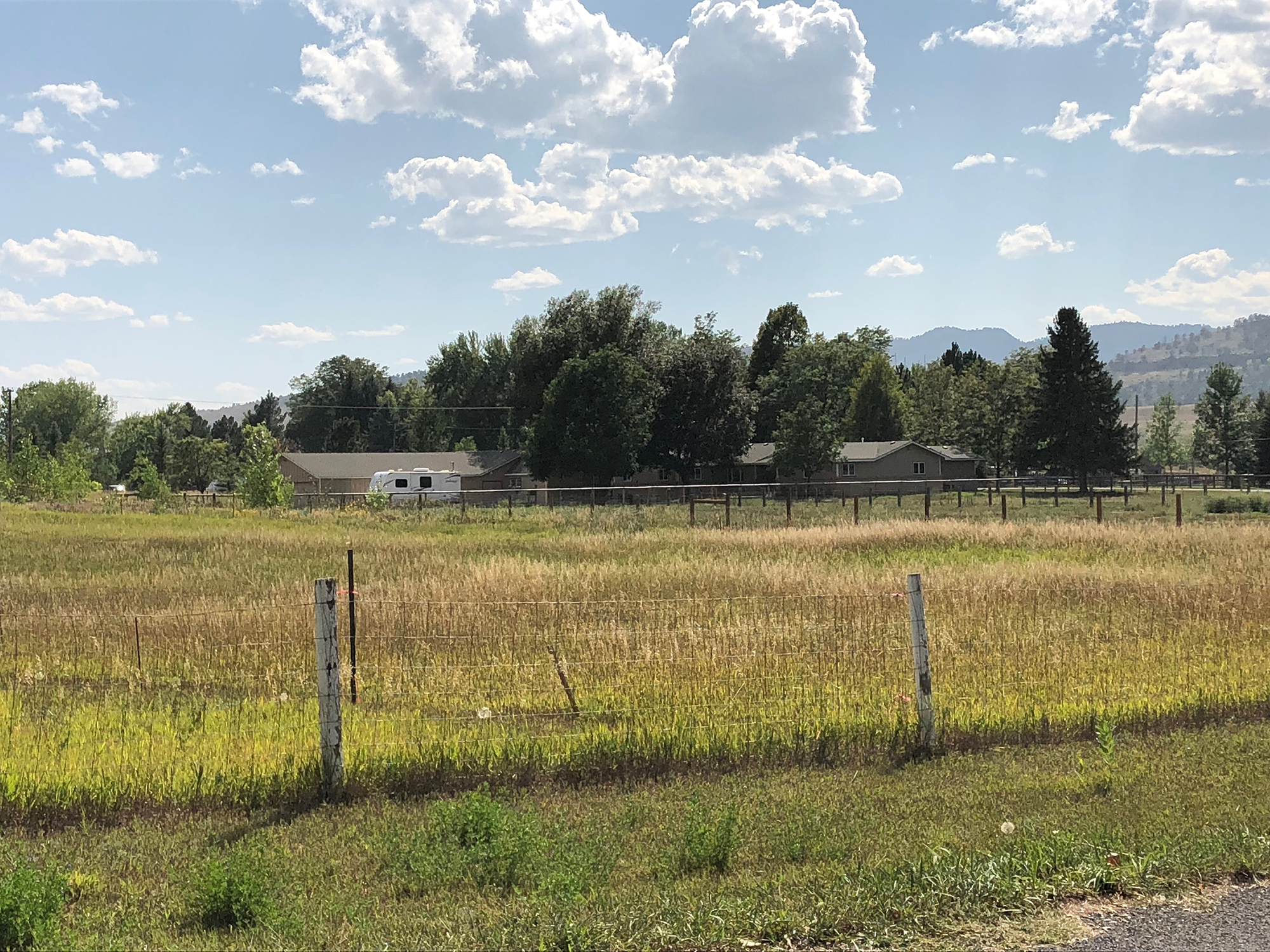
- Rural Neighborhood
-
Principal Land Use
Single-family detached homes, agricultural uses
Supporting Land Use
ADUs, limited commercial/employment uses (such as home occupations)
Density
Up to two principal dwelling units per acre
Key Characteristics/Considerations
- Support opportunities for rural lifestyles and connectivity to open spaces.
- Rural Neighborhoods should be designed to maximize the preservation of open space or agricultural lands and/or act as a transition between natural and protected lands and other, more-intense uses.
- Nonresidential uses are supported provided they do not generate excessive noise, traffic or parking requirements, or otherwise detract from the rural character of these neighborhoods.
- Pedestrian and bicycle infrastructure, as well as transit service, is limited.
Typical Types of Transit
None, densities are not sufficient to support transit.
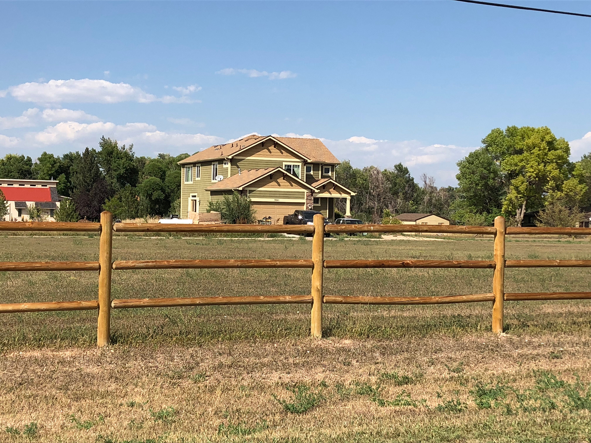
- Suburban Neighborhood
-
Principal Land Use
Single-family detached homes
Supporting Land Use
Parks and recreational facilities, schools, places of worship, ADUs in some locations (where permitted by underlying zoning)
Density
Between two and five principal dwelling units per acre
Key Characteristics/Considerations
- Comprised of predominantly single-family detached homes.
- Neighborhood Centers may serve as focal points within Single-family Neighborhoods (see Neighborhood Mixed-Use District).
- Amenities and infrastructure encourage walking and biking, but transit service is typically more limited.
Typical Types of Transit
Limited local bus service with frequencies of approximately every 60 minutes; some locations may also be served by flex services.
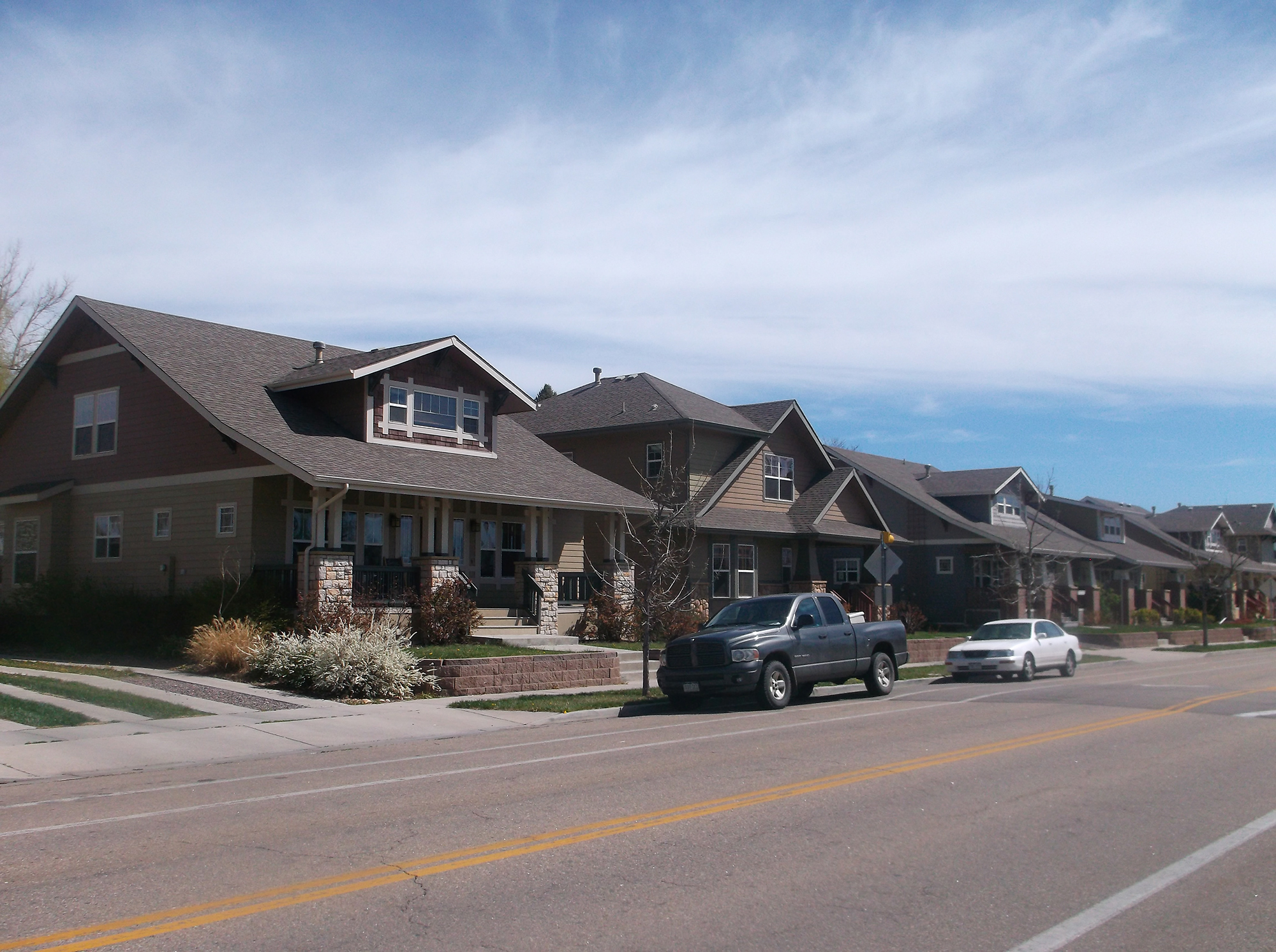
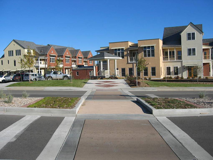
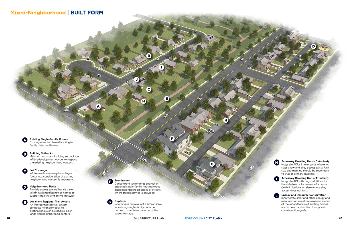
- Mixed Neighborhood
-
Principal Land Use
Single-family detached homes, duplexes, triplexes and townhomes
Supporting Land Use
ADUs, small scale multifamily buildings, small-scale retail, restaurants/cafes, community and public facilities, parks and recreational facilities, schools, places of worship
Density
Between five and 20 principal dwelling units per acre (typically equates to an average of seven to 12 dwelling units per acre)
Key Characteristics/Considerations (New Neighborhoods)
- Provide opportunities for a variety of attached and detached housing options and amenities in a compact neighborhood setting; some neighborhoods also include (or have direct access to) small-scale retail and other supporting services.
- Neighborhood Centers should serve as focal points within Mixed-Neighborhoods (see Neighborhood Mixed-Use District).
- Typically located within walking/biking distance of services and amenities and transit.
- Mixed-Neighborhoods built in a greenfield context should include a mix of housing options (lot size, type, price range, etc.).
Key Characteristics/Considerations (Existing Neighborhoods)
- While many existing Mixed-Neighborhoods may consist predominantly of single-family detached homes today, opportunities to incorporate ADUs or other attached housing options of a compatible scale and intensity may be feasible in some locations.
- The introduction of larger townhome or multifamily developments into existing single-family neighborhoods should generally be limited to edge or corner parcels that abut and/or are oriented toward arterial streets or an adjacent Neighborhood Mixed-Use District where transit and other services and amenities are available.
- Where townhomes or multifamily buildings are proposed in an existing neighborhood context, a transition in building height, massing and form should be required along the shared property line or street frontage.
- As existing neighborhoods change and evolve over time, rezoning of some areas may be appropriate when paired with a subarea or neighborhood planning initiative. See the Priority Place Types discussion on page 107 for more details about changes in existing neighborhoods over time.
- While reinvestment in existing mobile home parks is encouraged, redevelopment of existing parks is not.
Typical Types of Transit
In areas on the lower end of the density range, service will be similar to Suburban Neighborhoods; as densities approach 20 dwelling units per acre, fixed-route service at frequencies of between 30 and 60 minutes becomes viable.
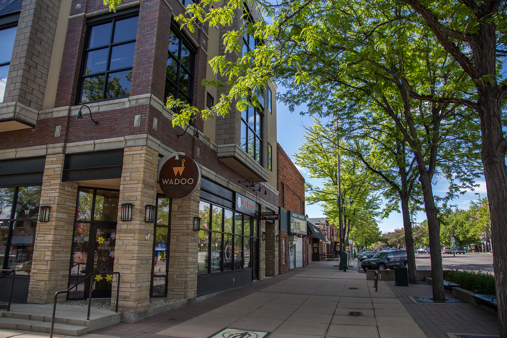
- Downtown
-
Principal Land Use
Generally includes a mix of retail, civic, office, cultural and employment uses, but the mix of uses varies by subdistrict
Supporting Land Use
Multifamily residential buildings, restaurants, bars, cafes, hotels, parks and other public spaces
Density
Densities will vary by subdistrict; building heights will typically be between three and 12 stories
Key Characteristics/Considerations
- A vibrant neighborhood and regional destination that offers a wide spectrum of employment, housing options, services, and cultural, educational and entertainment experiences in a compact, walkable environment.
- Includes nine distinct subdistricts: Historic Core; Canyon Avenue; Campus North; Civic; North Mason; River; Innovation; Poudre River Corridor; and Entryway Corridor.
- Served by BRT, high-frequency bus and regional transit.
Typical Types of Transit
Served by fixed-route and BRT service at frequencies of 15 minutes or greater.
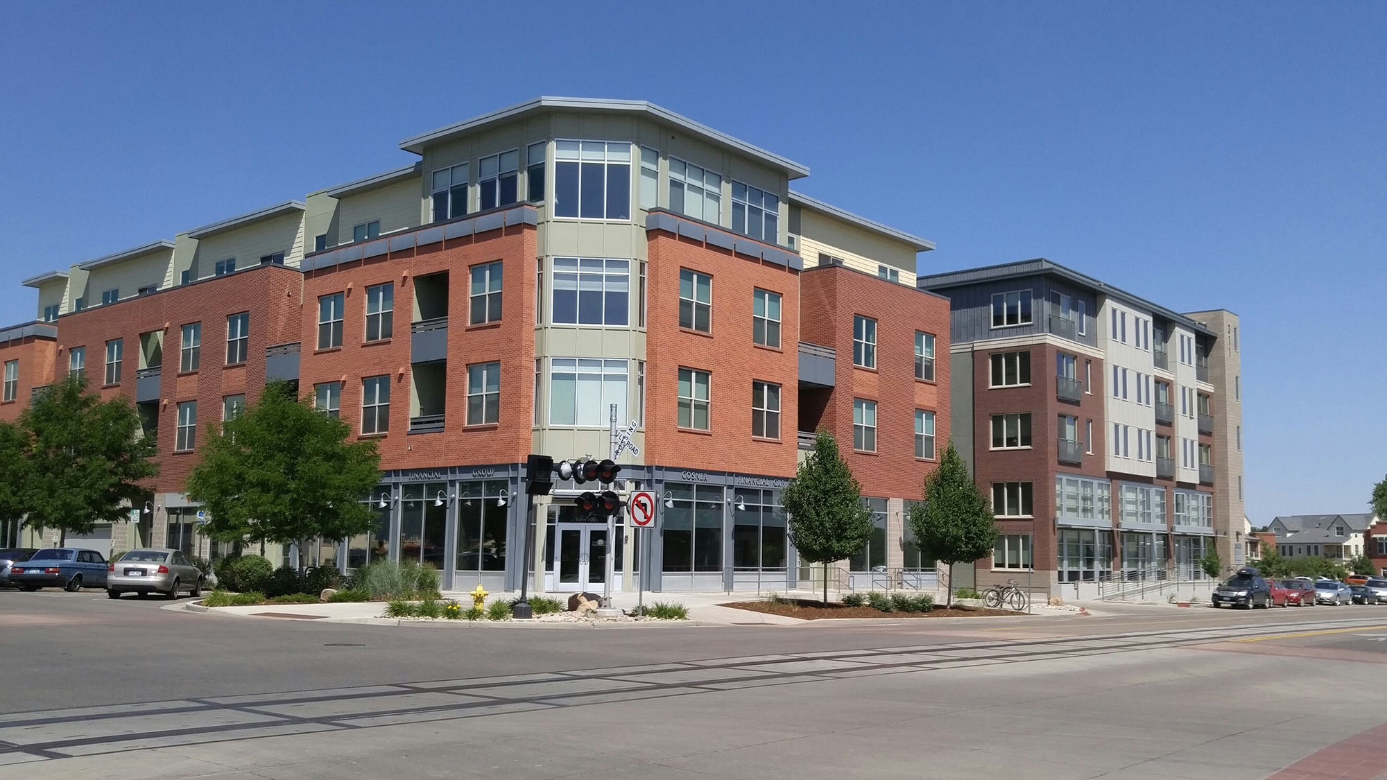
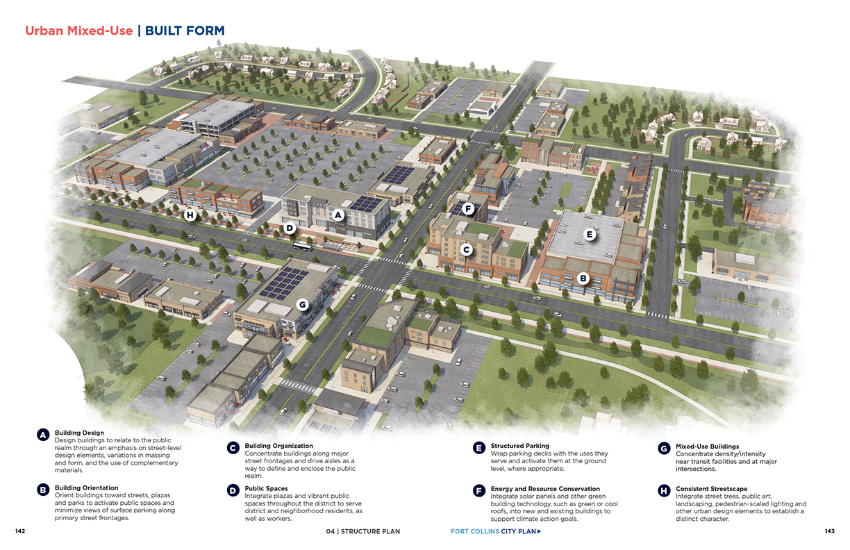
- Urban Mixed-Use
-
Principal Land Use
A mix of retail, restaurants, high-density residential, offices and other community services
Supporting Land Use
Childcare centers, civic and institutional uses, pocket parks and other outdoor gathering spaces, and other supporting uses
Density
Densities will vary; building heights will typically be between three and five stories, but may be slightly higher in some locations
Key Characteristics/Considerations
- Vibrant mixed-use districts that provide live-work opportunities, as well as a range of supporting services and amenities along high-frequency transit routes.
- Some existing Urban Mixed-Use Districts may include pockets of lower-intensity, auto-oriented uses; however, these areas should be encouraged to transition to a vertical mix of high-density development through infill/redevelopment, particularly near BRT stations.
- Supported by pedestrian and bicycle linkages to surrounding neighborhoods and BRT or high-frequency bus service.
Typical Types of Transit
Varies depending on density and surrounding context, but generally served by fixed-route or BRT service at frequencies of 15 minutes or greater.
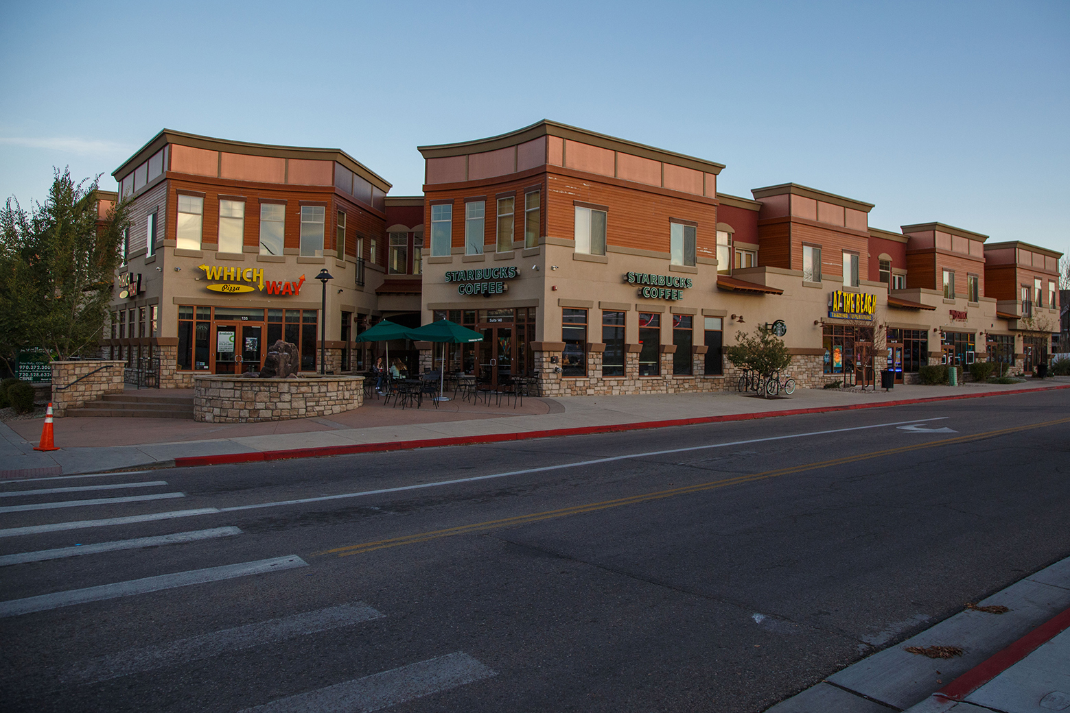
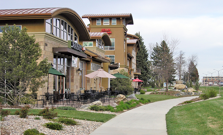
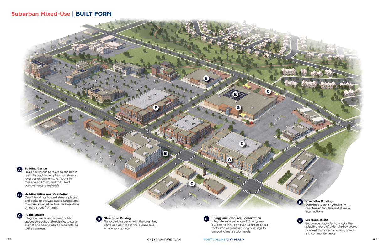
- Suburban Mixed-Use
-
Principal Land Use
Retail, restaurants, office and other commercial services
Supporting Land Use
High-density residential, entertainment, childcare centers and other supporting uses
Density
Densities and building heights will vary; building heights will generally be between one and five stories, but may be higher in some locations
Key Characteristics/Considerations
- Walkable mixed-use districts that provide a range of retail and commercial services, as well as high-density residential.
- Existing Suburban Mixed-Use Districts include lower-intensity, auto-oriented uses; however, the transition of these areas to a more transit-supportive pattern of development is encouraged as infill/redevelopment occurs, particularly where high-frequency transit exists or is planned.
- Supported by direct pedestrian and bicycle linkages to surrounding neighborhoods, as well as by BRT or high-frequency bus service.
Typical Types of Transit
Varies depending on density and surrounding context, but generally served by fixed-route service at frequencies of between 30 and 60 minutes; higher-frequency service may exist where densities are sufficient to support it.
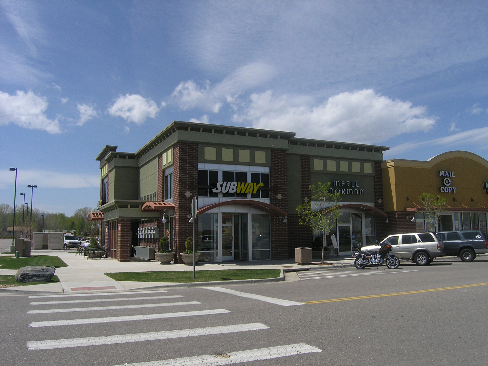
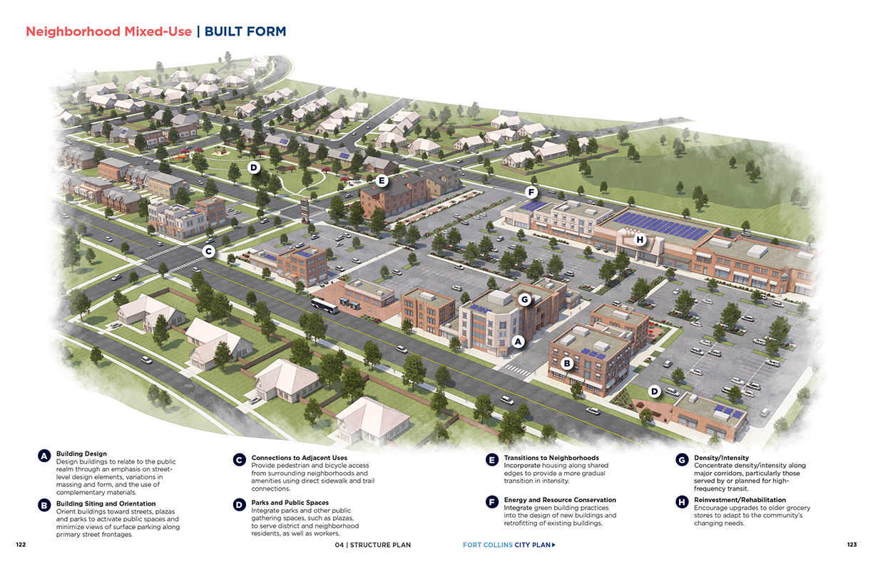
- Neighborhood Mixed-Use
-
Principal Land Use
Grocery store, supermarket or other type of anchor, such as a drugstore
Supporting Land Use
Retail, professional office, childcare centers and other neighborhood services, along with residential units, civic/ institutional uses, pocket parks, gathering spaces and other supporting uses
Density
Densities will vary; building heights will be between one and five stories
Key Characteristics/Considerations
- Neighborhood Mixed-Use Districts are stand-alone districts that are smaller in scale than Suburban Mixed-Use districts (typically smaller than 10 acres) and surrounded by neighborhoods.
- Provide a range of neighborhood-oriented services in a compact, pedestrian and bicycle-friendly setting.
- Supported by direct pedestrian and bicycle linkages to surrounding neighborhoods and more limited bus service.
Typical Types of Transit
Varies depending on density and surrounding context, but generally served by fixed-route service at frequencies of between 30 and 60 minutes.
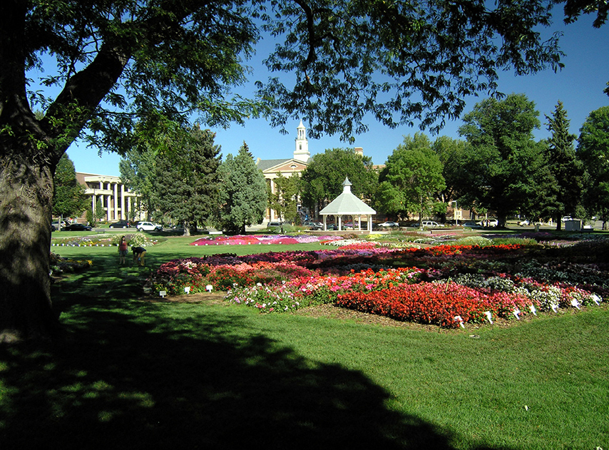
- Campus
-
Principal Land Use
Education, research and employment uses associated with major educational institutions
Supporting Land Use
Retail, restaurant, entertainment and residential uses
Density
Varies
Key Characteristics/Considerations
- Characteristics of Campus Districts vary by location and institution; future development is guided by each institution’s master plan.
- The incorporation of supporting uses and services is encouraged to help advance the mission of the institution and/or allow students and employees to meet more of their daily needs on campus.
- Supported by direct pedestrian and bicycle linkages from surrounding areas, as well as high-frequency bus and/or BRT.
Typical Types of Transit
Varies by location, but generally served by local bus service and/or BRT service at frequencies of 15 minutes or better.
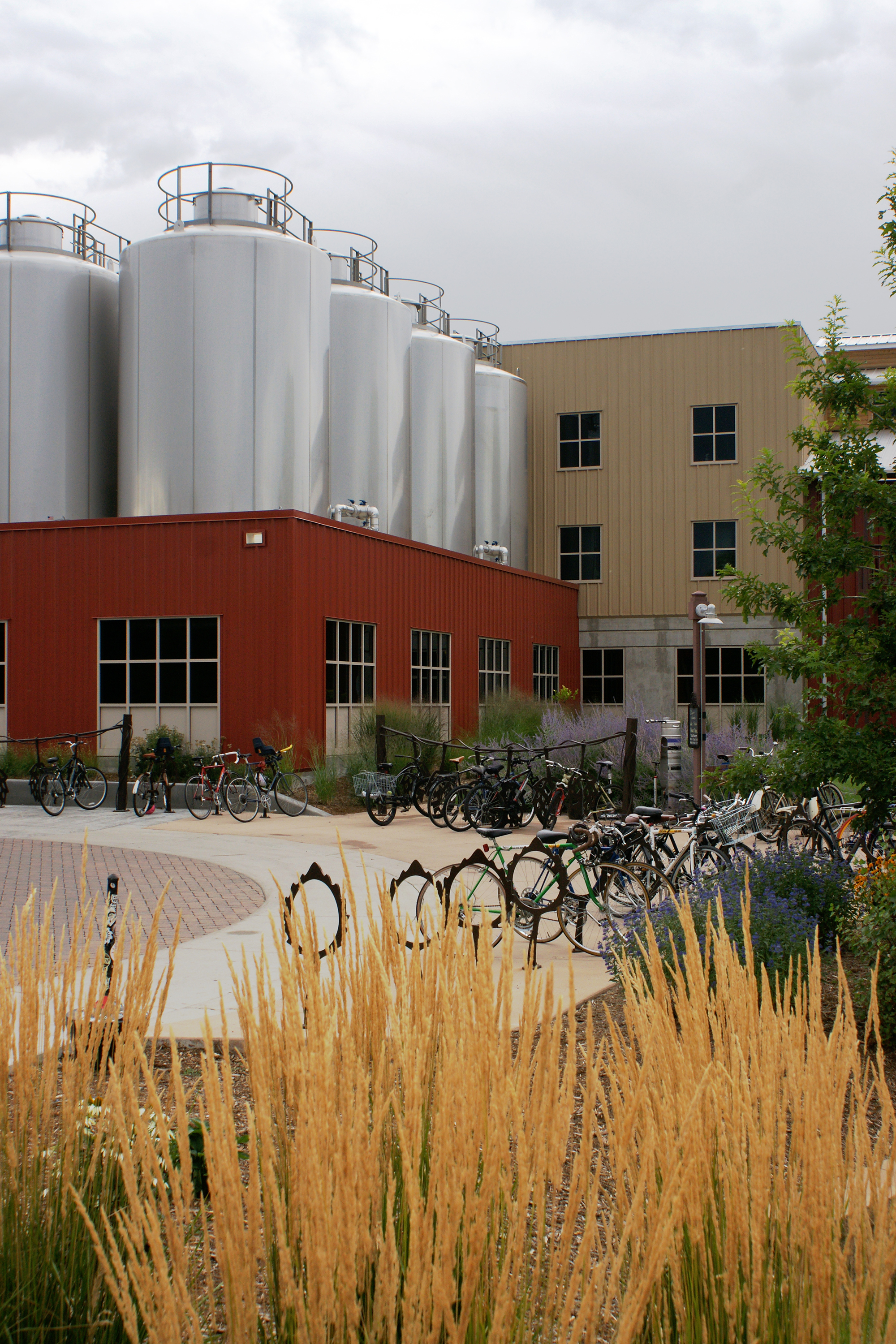
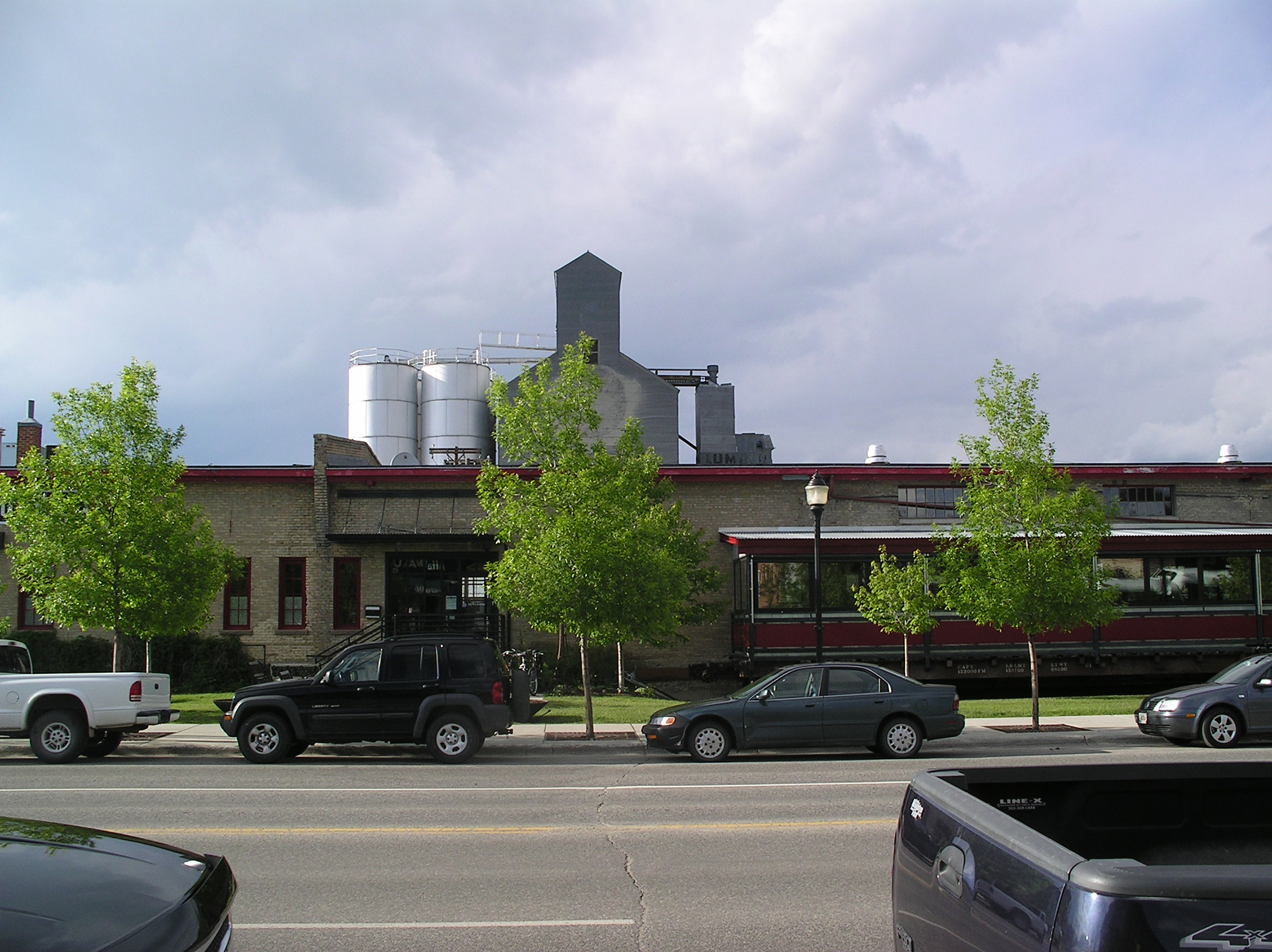
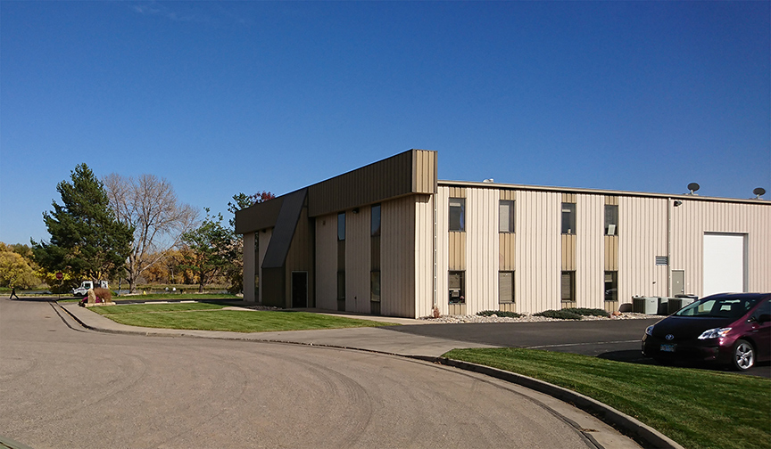
- R&D / Flex
-
Principal Land Use
Employment uses that include administrative, engineering, and/or scientific research, design or experimentation; offices; breweries; manufacturing; warehouses; wholesaling; and business incubator space.
Supporting Land Use
Limited distribution and logistics, convenience retail, commercial services, outdoor storage and other uses related to the principal uses.
Density
Varies
Key Characteristics/Considerations
- Accommodates a wide range of business types and sizes allowing the City to remain flexible in the types of employers and employment uses it can support and attract.
- While more-intense uses should be buffered from the street and surrounding areas, pedestrian and bicycle connections should be integrated into the overall design of a site or project.
- Any outdoor storage must be screened from the street and from less-intense uses in adjacent Districts or Neighborhoods.
Typical Types of Transit
Limited due to low population and low employment densities; however, fixed-route service at frequencies of between 30 and 60 minutes may exist in some locations.
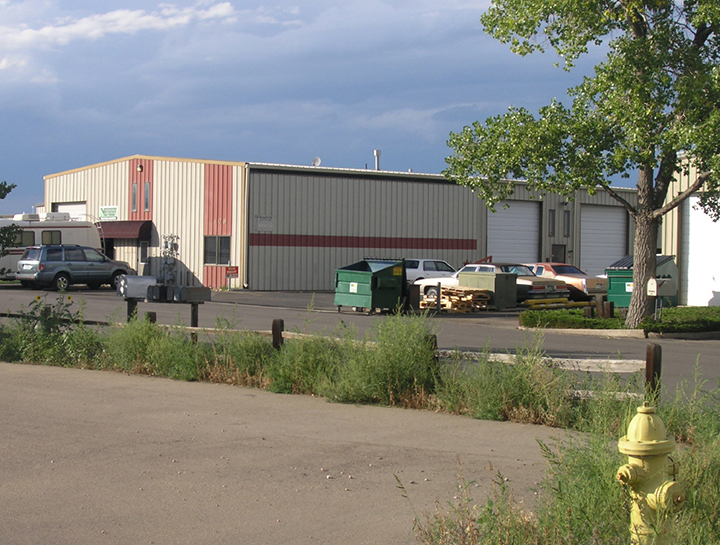
- Industrial
-
Principal Land Use
Industrial land uses such as manufacturing, assembly plants, primary metal and related industries; vehicle-related commercial uses; warehouses, outdoor storage yards and distribution facilities; and flex space for small, local startups as well as large national or regional enterprises
Supporting Land Use
Restaurants, convenience retail and other supporting services
Density
Varies
Key Characteristics/Considerations
- Areas dedicated for a variety of more-intensive work processes and other uses of similar character; typically located away from or buffered from residential neighborhoods.
- Transportation facilities in Industrial Districts should promote the efficient movement of commercial truck traffic and/or access to rail.
- Supported by direct pedestrian and bicycle linkages from surrounding areas, as well as transit in some locations.
Typical Types of Transit
Limited due to low population and low employment densities; however, fixed-route service at frequencies of between 30 and 60 minutes may exist in some locations.
- Parks, Natural / Protected Lands
-
Principal Land Use
Parks, open space, greenways, natural areas, wildlife habitat and corridors, outdoor recreation, community separators and agriculture
Key Characteristics/Considerations
- Serve a range of roles depending on their location, characteristics, sensitivity and management.
- Generally owned and managed by public agencies (the City, Larimer County, state or federal) but can also include privately owned areas protected through a conservation easement or other similar mechanism.
Typical Types of Transit
None; travel volumes typically not sufficient to support transit.