Mail Creek#
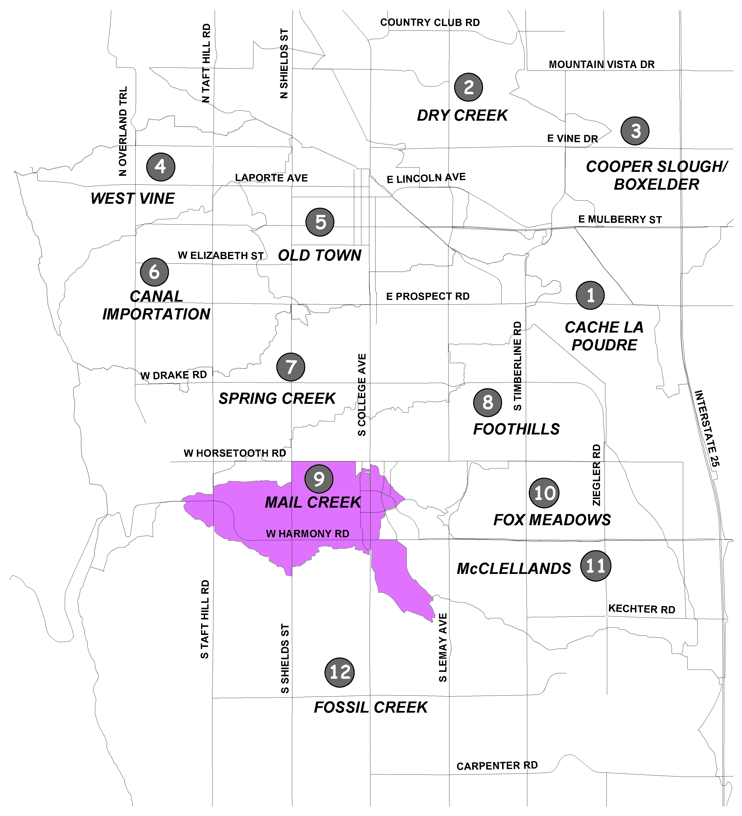
The Mail Creek Basin covers about 1,676 acres in southwest Fort Collins. It is primarily located between Taft Hill Road and Lemay Avenue, and between Horsetooth Road and County Road 36.
The basin is mostly developed, with commercial development along College Avenue and mixed-use residential in the remainder of the basin. The basin generally drains from west to east to the confluence of Mail Creek and Fossil Creek, and ultimately to Fossil Creek Reservoir. Three irrigation canals intercept stormwater to transport it out of the basin, but runoff spills into the basin when their capacity is exceeded.
As with the Foothills and Fox Meadows basins, Mail Creek basin was developed in accordance with a 1980 master plan and storm drainage criteria; therefore, many of the recommended improvements were coompleted. However, there are still some localized flooding problems, including an estimated 20 structures damaged during a 100-year event with an estimated $1.1 million in damages.
Recommended improvements include detention pond enlargement, property acquisition, and storm sewer construction. Once all the recommended improvements are in place, it is estimated no structures will be damaged in a 100-year storm event.
The master plan update is currently underway. The goal is to address stormwater quality from rainfall runoff and to identify stream restoration projects that protect the city's watersheds.
Check out the Water Quality Solution Map (PDF 14.1MB) for the Mail Creek drainage basin.
Did You Know?
You can save money by shifting your electric use to the lower-priced, off-peak hours or by reducing your overall use.
Turning off lights and appliances when not in use saves energy
Leaving grass clippings where they fall adds nutrients to the soil. A mulching mower chops grass into small pieces.